Heights of the ground around the house, from the Dutch height map (AHN) or measured by you. Elevations draw the ground along each side, 3D shows the slope, and the site plan shows the spot heights.
Terrain and a house on a slope: step by step
1. Get heights from the AHN
In Place, tab Plot, click Get heights from the AHN. Signed in, with a Dutch address, about 30 by 30 heights around the house come in, from the grade at the house (0).
2. Add measured heights
Click Add a measured height and click on the plan where you measured. Type the Height of the point, for example −0.45 m. Measured points stay when you get the AHN again.
3. On a slope
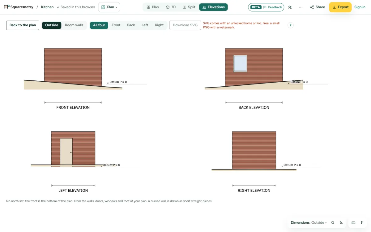
Elevations draw the ground along each side: the facade runs down to the lowest ground and the earth covers what is under the ground. 3D shows the ground at its height.
4. Shape it in Model
In Model, panel Terrain, click Shape the plot terrain here, shape it, and click Use as terrain of the plot. Elevations, 3D, the site plan and the report then show the shaped ground.
Messages you may see
- Sign in and add this home to your account to get heights from the AHN.
- Give this home a Dutch address first: the AHN covers the Netherlands only.
- The height map could not be reached. Please try again later.
- Type a height from −20 m to +20 m.